
Taji topographic map
Interactive map
Click on the map to display elevation.
About this map
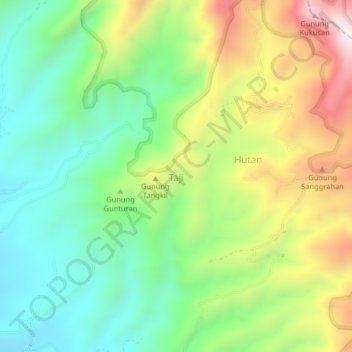
Name: Taji topographic map, elevation, terrain.
Location: Taji, Malang, East Java, Indonesia (-7.97112 112.78751 -7.93112 112.82751)
Average elevation: 938 m
Minimum elevation: 617 m
Maximum elevation: 1,471 m
Other topographic maps
Click on a map to view its topography, its elevation and its terrain.