
Laurel topographic map
Interactive map
Click on the map to display elevation.
About this map
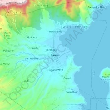
Name: Laurel topographic map, elevation, terrain.
Location: Laurel, Batangas, Calabarzon, Philippines (14.01047 120.89322 14.09047 120.97322)
Average elevation: 110 m
Minimum elevation: 4 m
Maximum elevation: 665 m