
Thiensville topographic map
Interactive map
Click on the map to display elevation.
About this map
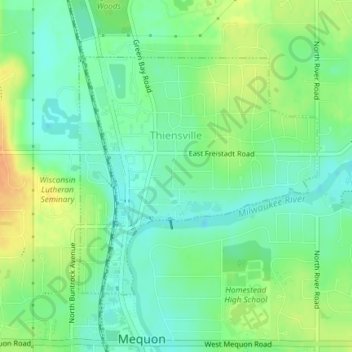
Name: Thiensville topographic map, elevation, terrain.
Location: Thiensville, Ozaukee County, Wisconsin, United States (43.22527 -87.98896 43.24352 -87.96382)
Average elevation: 211 m
Minimum elevation: 197 m
Maximum elevation: 231 m
Other topographic maps
Click on a map to view its topography, its elevation and its terrain.