
Moncalieri topographic map
Interactive map
Click on the map to display elevation.
About this map
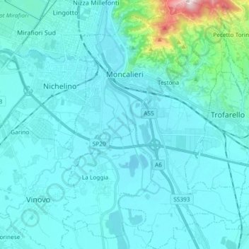
Name: Moncalieri topographic map, elevation, terrain.
Location: Moncalieri, TO, Piemont, Italy (44.92793 7.64802 45.03116 7.75711)
Average elevation: 258 m
Minimum elevation: 214 m
Maximum elevation: 706 m