
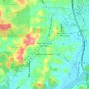
Kampung Sungai Merab Ulu topographic map
Interactive map
Click on the map to display elevation.
About this map
Name: Kampung Sungai Merab Ulu topographic map, elevation, terrain.
Location: Kampung Sungai Merab Ulu, Sepang, Selangor, 63450, Malaysia (2.90626 101.71962 2.94626 101.75962)
Average elevation: 53 m
Minimum elevation: 12 m
Maximum elevation: 149 m
Other topographic maps
Click on a map to view its topography, its elevation and its terrain.