
Kudli topographic map
Interactive map
Click on the map to display elevation.
About this map
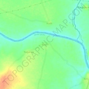
Name: Kudli topographic map, elevation, terrain.
Location: Kudli, Bhalki taluku, Bidar district, Karnataka, India (18.09873 77.31155 18.13873 77.35155)
Average elevation: 544 m
Minimum elevation: 528 m
Maximum elevation: 568 m