
Ranworth topographic map
Interactive map
Click on the map to display elevation.
About this map
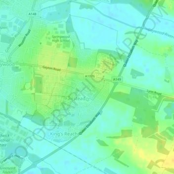
Name: Ranworth topographic map, elevation, terrain.
Average elevation: 8 m
Minimum elevation: 0 m
Maximum elevation: 24 m
England trails, hiking, mountain biking, running and outdoor activities
Other topographic maps
Click on a map to view its topography, its elevation and its terrain.
Broad Water
United Kingdom > England > King's Lynn and West Norfolk > Holme next the Sea
Average elevation: 2 m