
Dantumadiel topographic map
Interactive map
Click on the map to display elevation.
About this map
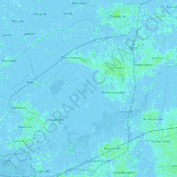
Name: Dantumadiel topographic map, elevation, terrain.
Location: Dantumadiel, Frisia, Netherlands (53.22770 5.88224 53.32563 6.07775)
Average elevation: 0 m
Minimum elevation: -6 m
Maximum elevation: 5 m
Other topographic maps
Click on a map to view its topography, its elevation and its terrain.