
Rotherwood topographic map
Interactive map
Click on the map to display elevation.
About this map
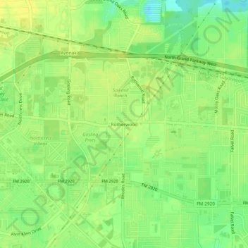
Name: Rotherwood topographic map, elevation, terrain.
Location: Rotherwood, Harris County, Texas, 77389, United States (30.06327 -95.51661 30.10327 -95.47661)
Average elevation: 43 m
Minimum elevation: 30 m
Maximum elevation: 49 m