
Waterville topographic map
Interactive map
Click on the map to display elevation.
About this map
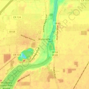
Name: Waterville topographic map, elevation, terrain.
Location: Waterville, Lucas County, Ohio, 43566, United States (41.47401 -83.75934 41.52201 -83.71163)
Average elevation: 197 m
Minimum elevation: 169 m
Maximum elevation: 209 m