
Milledgeville topographic map
Interactive map
Click on the map to display elevation.
About this map
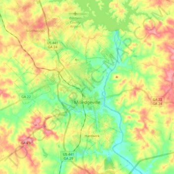
Name: Milledgeville topographic map, elevation, terrain.
Location: Milledgeville, Baldwin County, Georgia, United States (33.01988 -83.31356 33.16546 -83.18921)
Average elevation: 117 m
Minimum elevation: 68 m
Maximum elevation: 179 m