
Thornton House topographic map
Interactive map
Click on the map to display elevation.
About this map
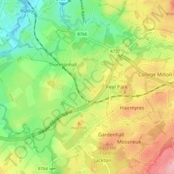
Name: Thornton House topographic map, elevation, terrain.
Average elevation: 139 m
Minimum elevation: 79 m
Maximum elevation: 213 m
Scotland trails, hiking, mountain biking, running and outdoor activities