
Amugoro topographic map
Interactive map
Click on the map to display elevation.
About this map
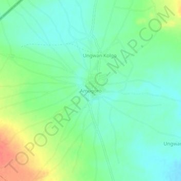
Name: Amugoro topographic map, elevation, terrain.
Location: Amugoro, Arewa Dandi, Kebbi, Nigeria (12.66343 3.87522 12.70343 3.91522)
Average elevation: 231 m
Minimum elevation: 214 m
Maximum elevation: 265 m