
Hayama topographic map
Interactive map
Click on the map to display elevation.
About this map
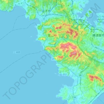
Name: Hayama topographic map, elevation, terrain.
Location: Hayama, Miura County, Kanagawa Prefecture, 240-0112, Japan (35.21092 139.48009 35.29197 139.64197)
Average elevation: 26 m
Minimum elevation: -1 m
Maximum elevation: 227 m