
Zamora topographic map
Interactive map
Click on the map to display elevation.
About this map
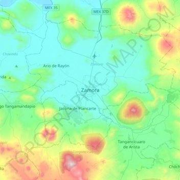
Name: Zamora topographic map, elevation, terrain.
Location: Zamora, Michoacán de Ocampo, 59669, México (19.82289 -102.44363 20.14289 -102.12363)
Average elevation: 1,798 m
Minimum elevation: 1,526 m
Maximum elevation: 2,767 m