
Forgo topographic map
Interactive map
Click on the map to display elevation.
About this map
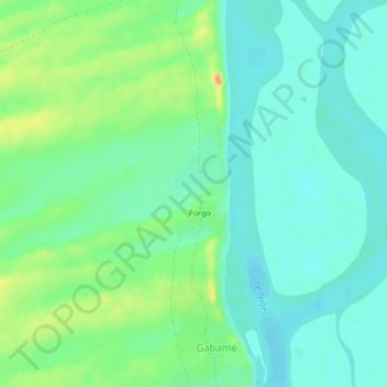
Name: Forgo topographic map, elevation, terrain.
Location: Forgo, Gao Cercle, Gao, Mali (16.44743 -0.14135 16.48743 -0.10135)
Average elevation: 258 m
Minimum elevation: 244 m
Maximum elevation: 288 m