
Riet River topographic map
Interactive map
Click on the map to display elevation.
About this map
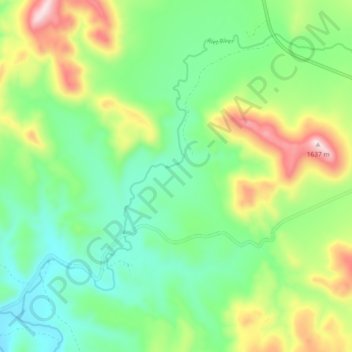
Name: Riet River topographic map, elevation, terrain.
Average elevation: 1,272 m
Minimum elevation: 1,099 m
Maximum elevation: 1,626 m
Other topographic maps
Click on a map to view its topography, its elevation and its terrain.
Tsolwana Nature Reserve
RSA > Eastern Cape > Tsolwana Local Municipality
Tsolwana Nature Reserve, Tsolwana Ward 5, Tsolwana Local Municipality, Chris Hani District Municipality, Eastern Cape, RSA
Average elevation: 1,511 m