
Sibratsgfäll topographic map
Interactive map
Click on the map to display elevation.
About this map
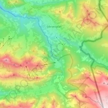
Name: Sibratsgfäll topographic map, elevation, terrain.
Location: Sibratsgfäll, Bregenz, Vorarlberg, Österreich (47.35986 10.00391 47.44831 10.10559)
Average elevation: 1,209 m
Minimum elevation: 718 m
Maximum elevation: 2,036 m