
Bradgate topographic map
Interactive map
Click on the map to display elevation.
About this map
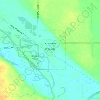
Name: Bradgate topographic map, elevation, terrain.
Location: Bradgate, Humboldt County, Iowa, United States (42.79747 -94.42800 42.80815 -94.41299)
Average elevation: 348 m
Minimum elevation: 337 m
Maximum elevation: 366 m