
Ridgeway topographic map
Interactive map
Click on the map to display elevation.
About this map
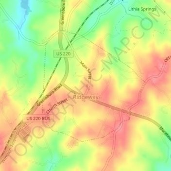
Name: Ridgeway topographic map, elevation, terrain.
Location: Ridgeway, Henry County, Virginia, USA (36.56974 -79.86690 36.58735 -79.84663)
Average elevation: 265 m
Minimum elevation: 220 m
Maximum elevation: 297 m