
Liendo topographic map
Interactive map
Click on the map to display elevation.
About this map
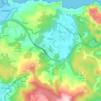
Name: Liendo topographic map, elevation, terrain.
Location: Liendo, Costa Oriental, Cantabria, 39776, España (43.35640 -3.40522 43.41686 -3.32461)
Average elevation: 176 m
Minimum elevation: -2 m
Maximum elevation: 546 m