
Libertad topographic map
Interactive map
Click on the map to display elevation.
About this map
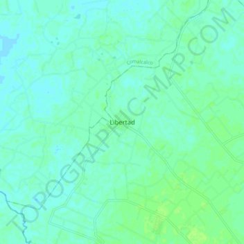
Name: Libertad topographic map, elevation, terrain.
Location: Libertad, Cunduacán, Tabasco, México (18.14067 -93.40834 18.22067 -93.32834)
Average elevation: 10 m
Minimum elevation: 6 m
Maximum elevation: 16 m