
Kalwala topographic map
Interactive map
Click on the map to display elevation.
About this map
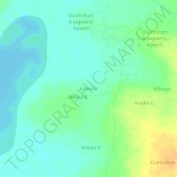
Name: Kalwala topographic map, elevation, terrain.
Location: Kalwala, Amolatar, Northern Region, Uganda (1.56333 32.81333 1.60333 32.85333)
Average elevation: 1,041 m
Minimum elevation: 1,032 m
Maximum elevation: 1,059 m