
Mangri topographic map
Interactive map
Click on the map to display elevation.
About this map
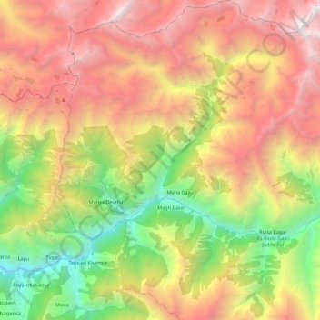
Name: Mangri topographic map, elevation, terrain.
Location: Mangri, Mugu, Karnali, Mid-Western Development Region, Nepal (29.52038 82.22091 29.71498 82.40149)
Average elevation: 3,708 m
Minimum elevation: 1,763 m
Maximum elevation: 5,788 m