
Jensen topographic map
Interactive map
Click on the map to display elevation.
About this map
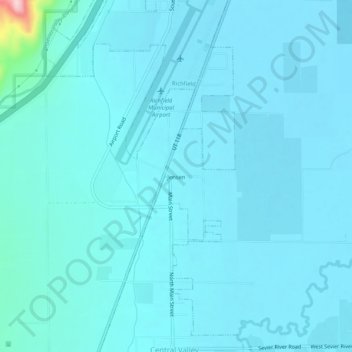
Name: Jensen topographic map, elevation, terrain.
Location: Jensen, Sevier County, Utah, 84701, USA (38.70358 -112.11854 38.74358 -112.07854)
Average elevation: 1,620 m
Minimum elevation: 1,602 m
Maximum elevation: 1,846 m