
Grant topographic map
Interactive map
Click on the map to display elevation.
About this map
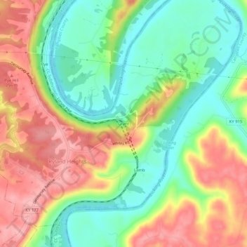
Name: Grant topographic map, elevation, terrain.
Location: Grant, Kenton County, Kentucky, United States (38.94367 -84.47133 38.98367 -84.43133)
Average elevation: 198 m
Minimum elevation: 138 m
Maximum elevation: 270 m