
Maadi topographic map
Interactive map
Click on the map to display elevation.
About this map
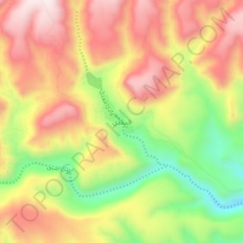
Name: Maadi topographic map, elevation, terrain.
Location: Maadi, Shihr District, Hadramaut Governorate, Yemen (14.93373 49.39506 14.97373 49.43506)
Average elevation: 620 m
Minimum elevation: 290 m
Maximum elevation: 890 m