
North Rim topographic map
Interactive map
Click on the map to display elevation.
About this map
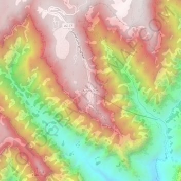
Name: North Rim topographic map, elevation, terrain.
Location: North Rim, Coconino County, Arizona, USA (36.17986 -112.07271 36.21986 -112.03271)
Average elevation: 2,046 m
Minimum elevation: 1,316 m
Maximum elevation: 2,564 m