
Ballyclough topographic map
Interactive map
Click on the map to display elevation.
About this map
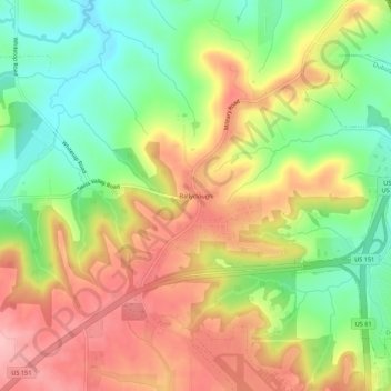
Name: Ballyclough topographic map, elevation, terrain.
Location: Ballyclough, Dubuque County, Iowa, 52003, USA (42.40584 -90.73818 42.44584 -90.69818)
Average elevation: 281 m
Minimum elevation: 211 m
Maximum elevation: 352 m