
Kg Melayu Sri Kundang topographic map
Interactive map
Click on the map to display elevation.
About this map
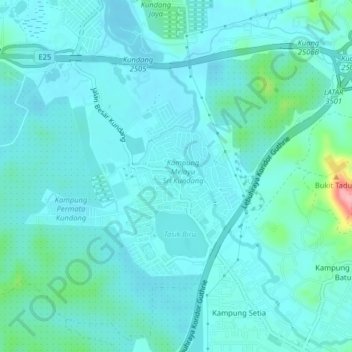
Name: Kg Melayu Sri Kundang topographic map, elevation, terrain.
Location: Kg Melayu Sri Kundang, Selangor, 48050, Malaysia (3.23676 101.50522 3.27676 101.54522)
Average elevation: 36 m
Minimum elevation: 18 m
Maximum elevation: 148 m