
Albert Luthuli Ward 23 topographic map
Interactive map
Click on the map to display elevation.
About this map
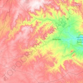
Name: Albert Luthuli Ward 23 topographic map, elevation, terrain.
Average elevation: 1,518 m
Minimum elevation: 908 m
Maximum elevation: 2,026 m