
Drakes topographic map
Interactive map
Click on the map to display elevation.
About this map
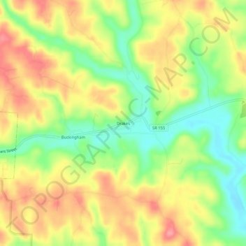
Name: Drakes topographic map, elevation, terrain.
Location: Drakes, Perry County, Ohio, 43730, USA (39.57396 -82.14709 39.61396 -82.10709)
Average elevation: 260 m
Minimum elevation: 214 m
Maximum elevation: 303 m