
Los Ramirez topographic map
Interactive map
Click on the map to display elevation.
About this map
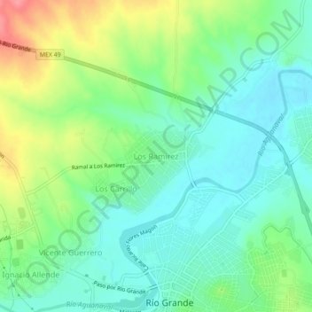
Name: Los Ramirez topographic map, elevation, terrain.
Location: Los Ramirez, Río Grande, Zacatecas, 98400, México (23.82560 -103.05572 23.86560 -103.01572)
Average elevation: 1,875 m
Minimum elevation: 1,847 m
Maximum elevation: 1,931 m