
Callum topographic map
Interactive map
Click on the map to display elevation.
About this map
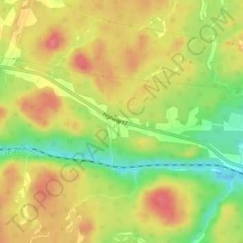
Name: Callum topographic map, elevation, terrain.
Location: Callum, Markstay-Warren, Sudbury District, Ontario, Canada (46.50641 -80.63920 46.52641 -80.61920)
Average elevation: 264 m
Minimum elevation: 221 m
Maximum elevation: 297 m