
Emma topographic map
Interactive map
Click on the map to display elevation.
About this map
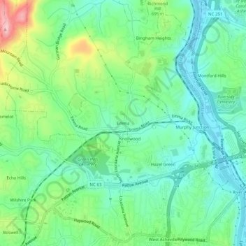
Name: Emma topographic map, elevation, terrain.
Location: Emma, Buncombe County, North Carolina, 28806, USA (35.57678 -82.61179 35.61678 -82.57179)
Average elevation: 650 m
Minimum elevation: 596 m
Maximum elevation: 778 m