
Bigelow topographic map
Interactive map
Click on the map to display elevation.
About this map
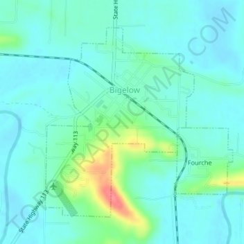
Name: Bigelow topographic map, elevation, terrain.
Location: Bigelow, Perry County, Arkansas, USA (34.98714 -92.64033 35.00811 -92.62017)
Average elevation: 93 m
Minimum elevation: 78 m
Maximum elevation: 149 m