
Michael topographic map
Interactive map
Click on the map to display elevation.
About this map
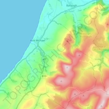
Name: Michael topographic map, elevation, terrain.
Location: Michael, Isle of Man (54.23158 -4.61919 54.31609 -4.50154)
Average elevation: 163 m
Minimum elevation: 0 m
Maximum elevation: 488 m