
Jessica topographic map
Interactive map
Click on the map to display elevation.
About this map
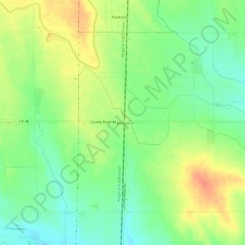
Name: Jessica topographic map, elevation, terrain.
Location: Jessica, Logan County, Colorado, 00807, USA (40.74054 -103.19187 40.78054 -103.15187)
Average elevation: 1,214 m
Minimum elevation: 1,193 m
Maximum elevation: 1,240 m