
Soltau topographic map
Interactive map
Click on the map to display elevation.
About this map
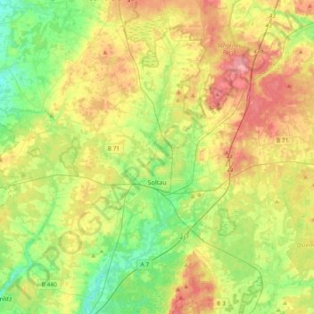
Name: Soltau topographic map, elevation, terrain.
Location: Soltau, Heidekreis, Lower Saxony, 29614, Germany (52.92866 9.66046 53.07904 10.03009)
Average elevation: 78 m
Minimum elevation: 43 m
Maximum elevation: 123 m