
Thüngersheim topographic map
Interactive map
Click on the map to display elevation.
About this map
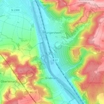
Name: Thüngersheim topographic map, elevation, terrain.
Location: Thüngersheim, Landkreis Würzburg, Bavaria, 97291, Germany (49.84809 9.82982 49.89527 9.88354)
Average elevation: 249 m
Minimum elevation: 162 m
Maximum elevation: 379 m
Other topographic maps
Click on a map to view its topography, its elevation and its terrain.