
Senggi topographic map
Interactive map
Click on the map to display elevation.
About this map
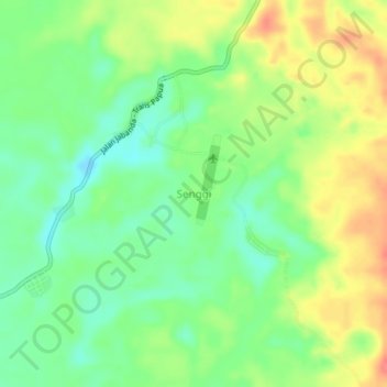
Name: Senggi topographic map, elevation, terrain.
Location: Senggi, Keerom, Papua, Indonesia (-3.46348 140.75666 -3.42348 140.79666)
Average elevation: 259 m
Minimum elevation: 232 m
Maximum elevation: 293 m