
Herbelin Ranch topographic map
Interactive map
Click on the map to display elevation.
About this map
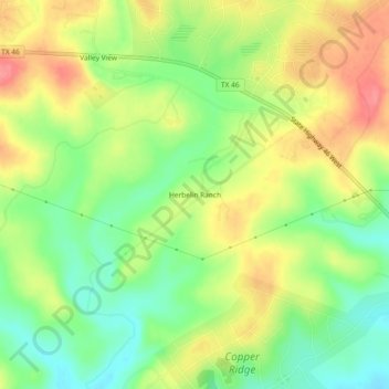
Name: Herbelin Ranch topographic map, elevation, terrain.
Location: Herbelin Ranch, Comal County, Texas, USA (29.73860 -98.28412 29.77860 -98.24412)
Average elevation: 336 m
Minimum elevation: 298 m
Maximum elevation: 378 m