
Pleasant Grove topographic map
Interactive map
Click on the map to display elevation.
About this map
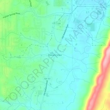
Name: Pleasant Grove topographic map, elevation, terrain.
Location: Pleasant Grove, Catoosa County, Georgia, 30736, USA (34.86174 -85.15828 34.90174 -85.11828)
Average elevation: 268 m
Minimum elevation: 224 m
Maximum elevation: 407 m