
Bades topographic map
Interactive map
Click on the map to display elevation.
About this map
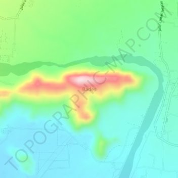
Name: Bades topographic map, elevation, terrain.
Location: Bades, Lumajang, East Java, Indonesia (-8.28015 113.08150 -8.24015 113.12150)
Average elevation: 89 m
Minimum elevation: 1 m
Maximum elevation: 332 m