
Xã Bình Thạnh topographic map
Interactive map
Click on the map to display elevation.
About this map
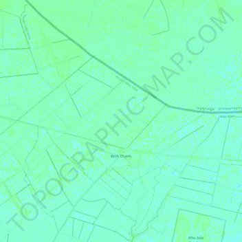
Name: Xã Bình Thạnh topographic map, elevation, terrain.
Location: Xã Bình Thạnh, Mộc Hóa District, Long An province, Vietnam (10.77302 105.99801 10.83503 106.11700)
Average elevation: 3 m
Minimum elevation: 0 m
Maximum elevation: 7 m