
Kampung Gunong topographic map
Interactive map
Click on the map to display elevation.
About this map
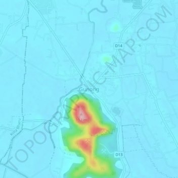
Name: Kampung Gunong topographic map, elevation, terrain.
Location: Kampung Gunong, Bachok, Kelantan, Malaysia (5.96738 102.32714 6.00738 102.36714)
Average elevation: 16 m
Minimum elevation: 2 m
Maximum elevation: 189 m