
Dongducheon-si topographic map
Interactive map
Click on the map to display elevation.
About this map
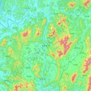
Name: Dongducheon-si topographic map, elevation, terrain.
Location: Dongducheon-si, Gyeonggi-do, 11330, South Korea (37.74309 126.90052 38.06309 127.22052)
Average elevation: 158 m
Minimum elevation: 5 m
Maximum elevation: 744 m