
Paintsville topographic map
Interactive map
Click on the map to display elevation.
About this map
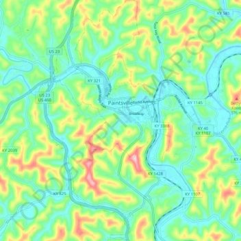
Name: Paintsville topographic map, elevation, terrain.
Location: Paintsville, Johnson County, Kentucky, 41240, United States (37.76812 -82.83922 37.84909 -82.77512)
Average elevation: 243 m
Minimum elevation: 175 m
Maximum elevation: 399 m
Other topographic maps
Click on a map to view its topography, its elevation and its terrain.