
Pamba river topographic map
Interactive map
Click on the map to display elevation.
About this map
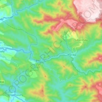
Name: Pamba river topographic map, elevation, terrain.
Location: Pamba river, Ranni, Pathanamthitta, Kerala, India (9.39113 76.96808 9.44322 77.15959)
Average elevation: 615 m
Minimum elevation: 82 m
Maximum elevation: 1,280 m
Other topographic maps
Click on a map to view its topography, its elevation and its terrain.