
Cordobilla de Lácara topographic map
Interactive map
Click on the map to display elevation.
About this map
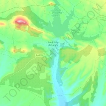
Name: Cordobilla de Lácara topographic map, elevation, terrain.
Location: Cordobilla de Lácara, Badajoz, Extremadura, España (39.10716 -6.48807 39.17584 -6.39389)
Average elevation: 336 m
Minimum elevation: 273 m
Maximum elevation: 482 m